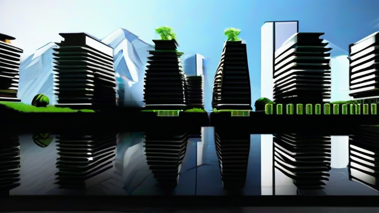
TL;DR: Digital twins—virtual, real-time replicas of cities—allow planners to simulate floods, heatwaves, and sea-level rise before they happen, making climate adaptation proactive rather than reactive. Think of them as a city’s “search history” and “what-if” engine, letting you test a green roof or a seawall without pouring a single bag of concrete.
The Urban Mirror That Thinks Ahead
You’re standing on a cobblestone piazza in Lisbon, eating a pastel de nata, when a summer downpour turns the alley into a river. Locals shrug—they’ve seen it before. But what if that piazza had a digital doppelgänger? Not a static 3D model, but a living simulation that ingests satellite data, traffic sensors, and tide gauges in real time. That’s the digital twin: a city’s shadow that runs thousands of climate scenarios overnight. For travelers, this means fewer ruined holidays. For residents, it means neighborhoods designed to breathe, shade, and drain—not just survive.
If you want to dig deeper, check out our guide on Wearable Biosensors Predict Heart Attacks Days in Advance.
I first encountered this concept while hiking in Rotterdam, a city that literally floats on innovation. The Dutch have built a public water plaza that doubles as a basketball court; when rain hits, it fills with stormwater. The city’s digital twin predicted exactly which streets would flood under a 1-in-100-year storm, then tested the plaza’s impact. The result? A playground that saves millions in damage. That’s the personal growth angle: we stop seeing climate as an abstract doom and start seeing it as a design problem. You can touch the solution.
How a Twin Changes Daily Life
Imagine your morning commute. A digital twin of your city runs a heatwave simulation at 3 a.m., discovering that your bus stop’s metal bench hits 60°C (140°F) by noon. By 6 a.m., the city’s app reroutes buses to shaded stops and plants temporary misting stations. You never see the simulation—you just feel cooler. In Barcelona, twins test where to place solar canopies over markets; in Miami, they simulate king tides to decide which parking garages become temporary reservoirs. For food lovers, this means farmers’ markets don’t flood, and coastal restaurants don’t lose their patios to erosion. For culture, it means historic buildings get retrofitted with invisible sensors, so Notre Dame’s next fire is caught in a virtual smoke plume before the real smoke rises.
The travel angle is personal: you can now pick destinations based on “twin-readiness.” A city with a mature digital twin (like Singapore, Helsinki, or New York) offers a smoother, safer experience. You’ll find interactive kiosks where you can ask, “What will this block look like in 2050?” and see a heat-adaptive redesign. That’s not gimmicky—it’s a new form of place-based storytelling. You’re not just visiting a city; you’re visiting its future, and that changes how you pack, where you walk, and what you value.
FAQ
Q: Are digital twins only for rich, tech-heavy cities?
A: Not anymore. Open-source platforms like UrbanTwin and partnerships with universities let mid-sized cities (e.g., Medellín, Colombia) build basic twins using existing weather data and free satellite imagery. You start small—simulate one flood-prone district—then scale.
Q: How accurate are these simulations?
A: They’re not crystal balls—they’re probability engines. A twin might say “70% chance of street-level flooding under a 50-year storm.” Accuracy improves with more sensors, but even a rough twin beats guessing. Cities use them to prioritize, not predict perfectly.
Q: Can I, as a regular person, interact with a digital twin?
A: Yes, in many places. Helsinki’s open-data twin lets anyone view building energy use and heat maps. Some cities host “twin hackathons” where citizens propose fixes—like
Leave a Reply